Shillingford to Radley
Stage 13
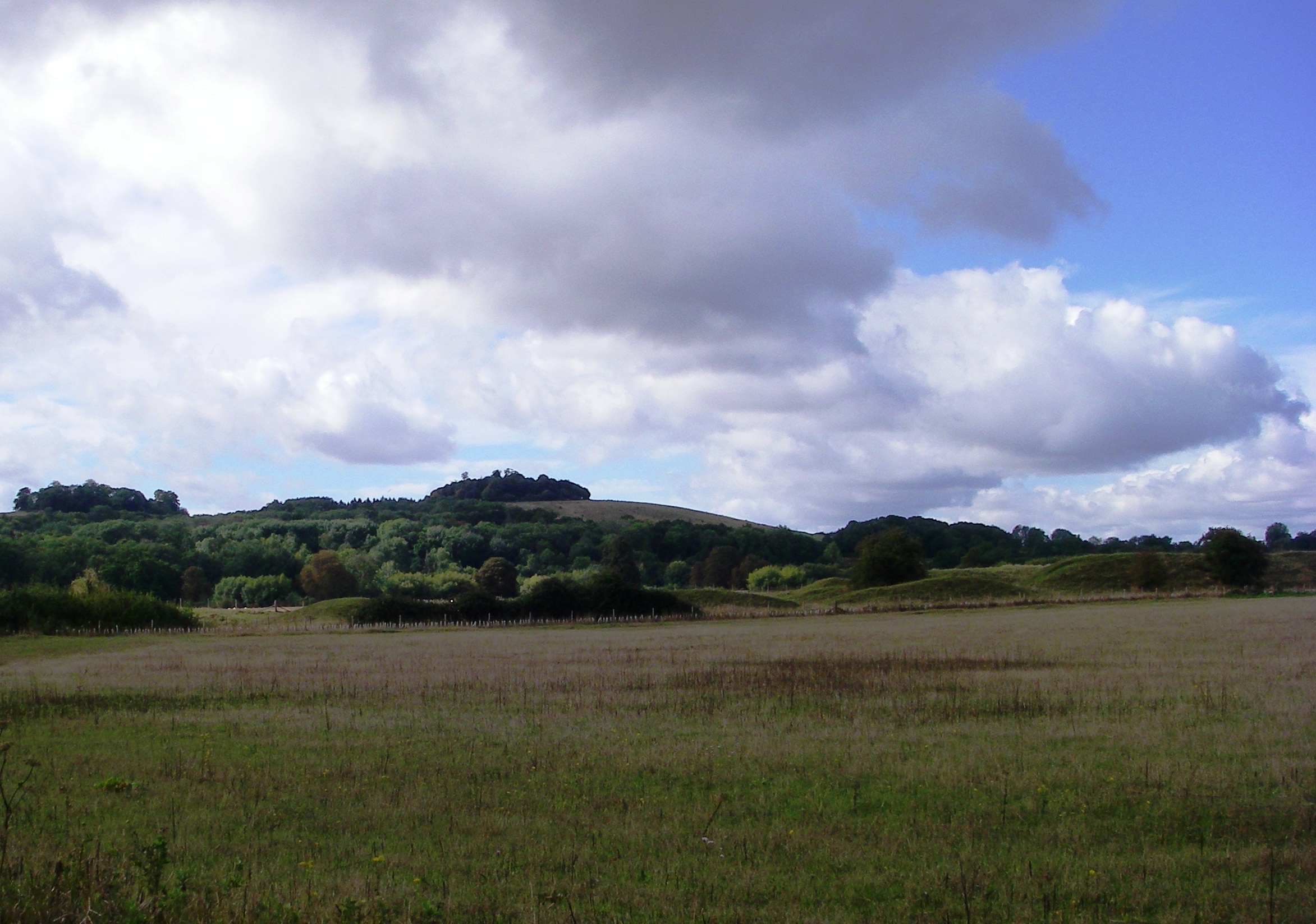
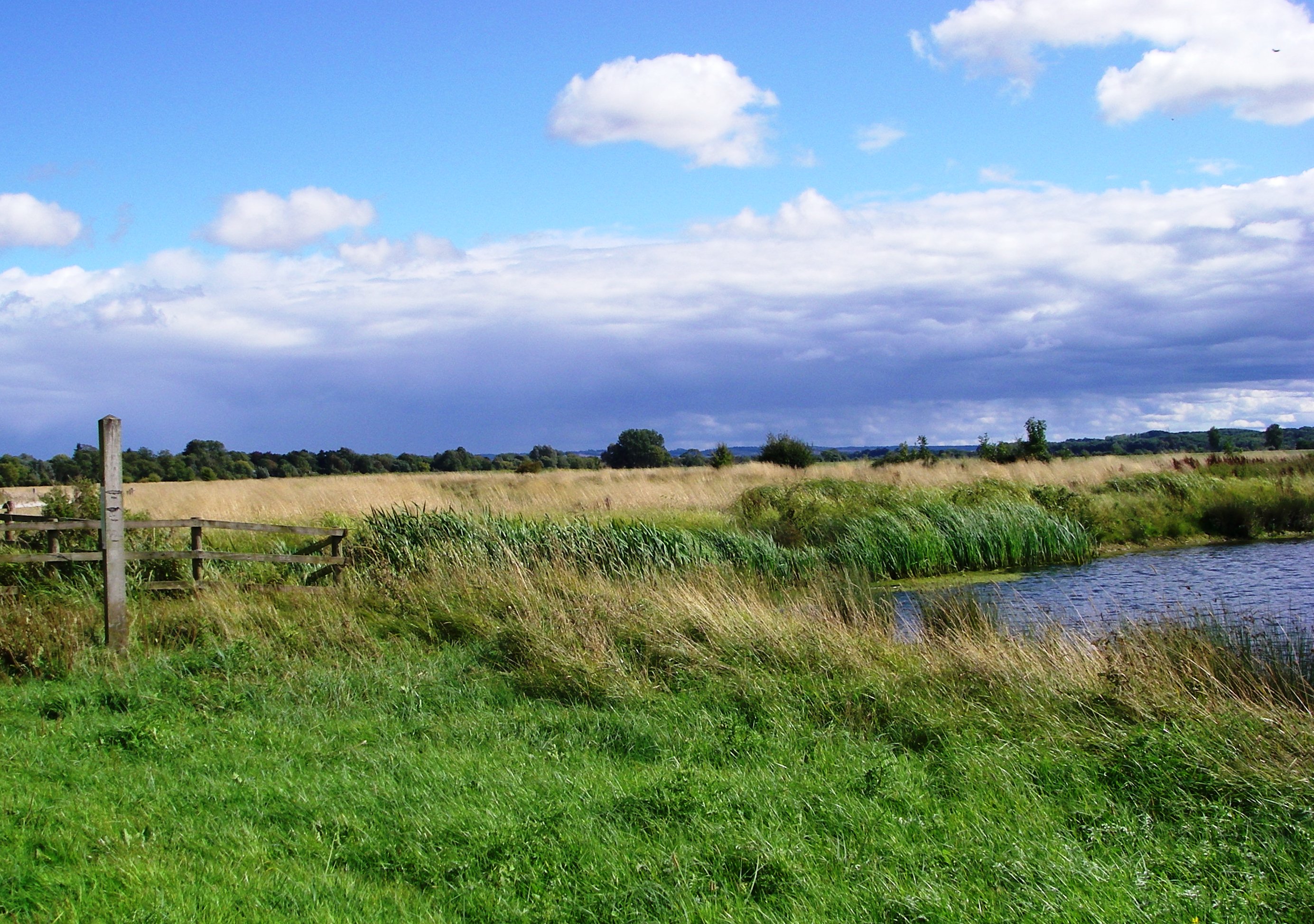
Mainly through riverside meadows and wetlands, this walk passes over the confluence of the River Thames and the River Tame and alongside the distinctive twin chalk hills of Wittenham Clumps to 'the quaintest, most old-fashioned inn on the Thames' and past the attractive market town of Abingdon.
| Start | Shillingford Crossroads |
|---|---|
| Finish | Radley Station |
| Start | SU 594 928 |
|---|---|
| Finish | SU 526 988 |
- Start The X40 express bus runs between Oxford, Wallingford and Reading.
- Finish Radley Station is on the main line to Oxford and Reading (Change at Didcot Parkway)
- To return to Shillingford Take the 35 bus from Foxborough Rd to Abingdon Rd, New Hinksey and change to the X40 bus.
Route diverted at Clifton Hampden because a new road is under construction between Didcot and Culham.
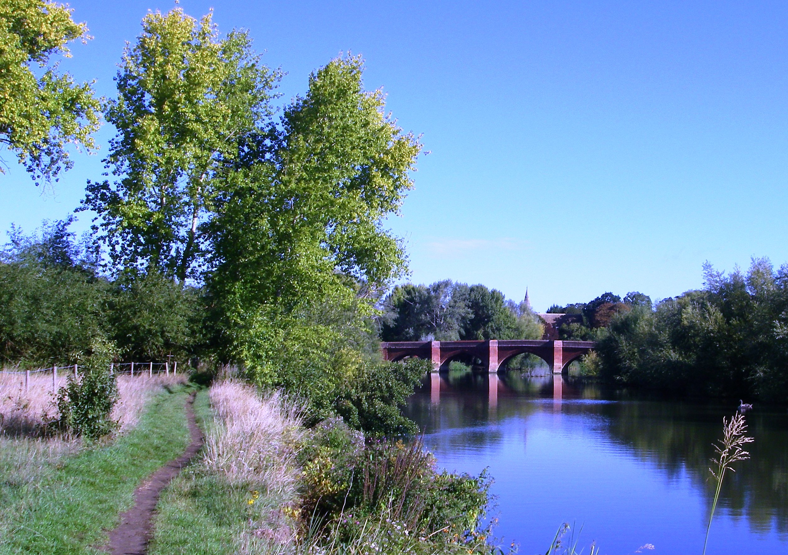
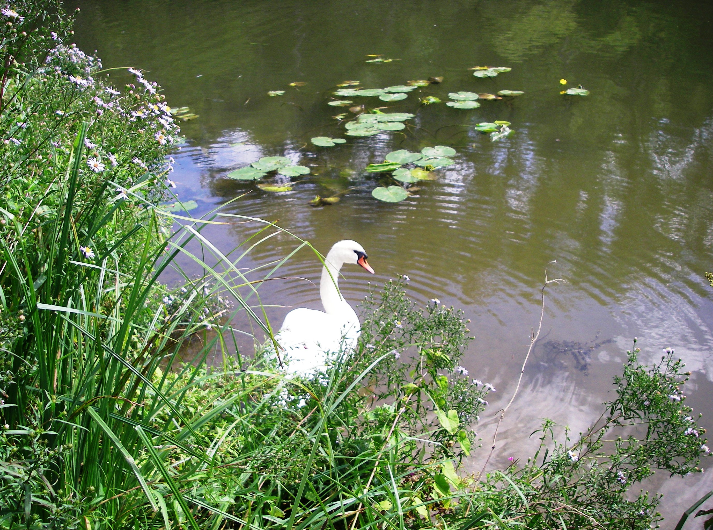
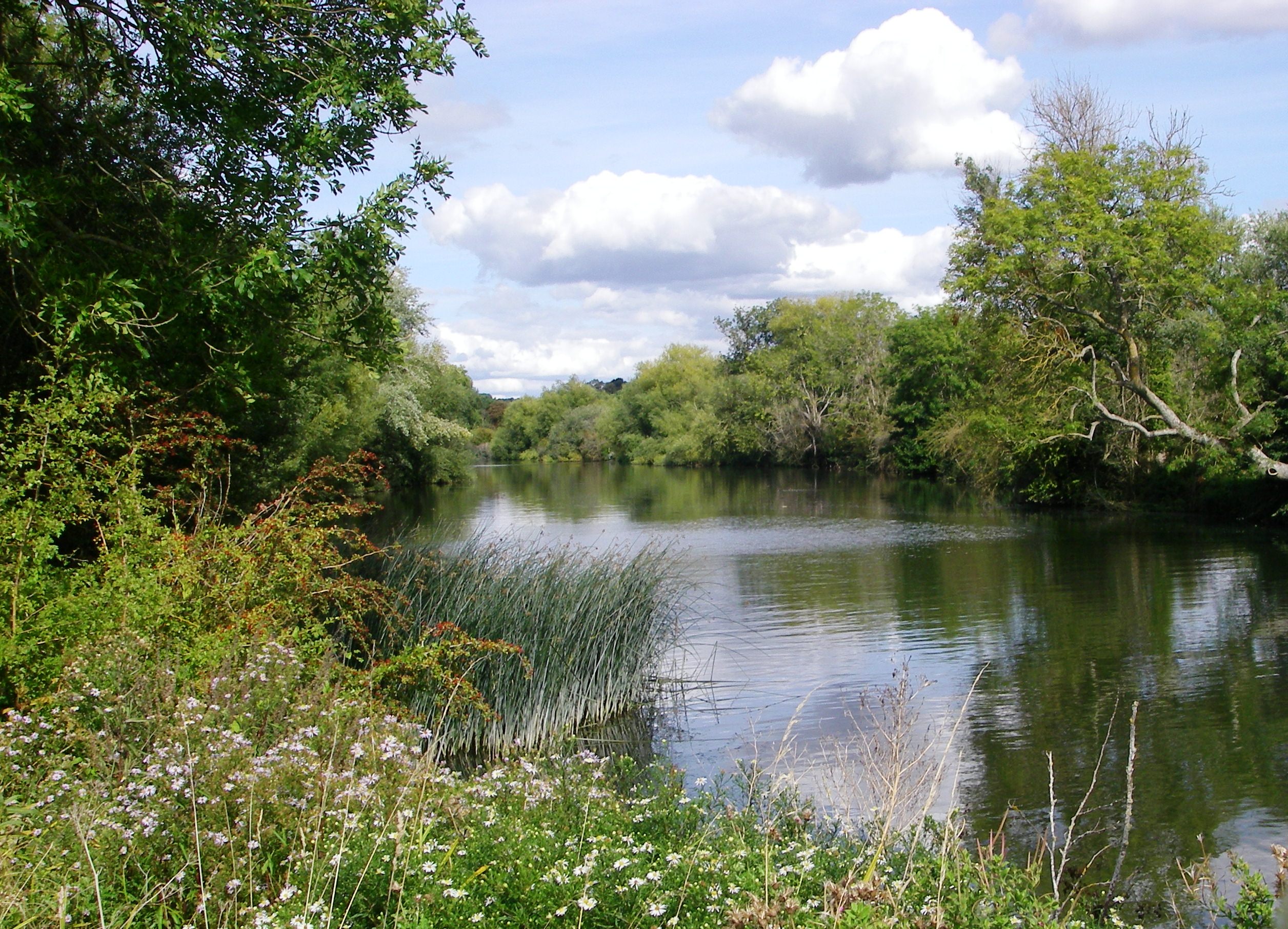
1: Shillingford Crossroads. From the bus stop turn away from the village along the main road and turn left on the footpath which leads to the river. After nearly a mile cross the footbridge over the mouth of the R. Tame. The footpath on the right leads to the Roman town of Dorchester where there are amenities. Just after a bend in the river a bridge leads to Little Wittenham and the start of a two mile round walk to the top of historic Wittenham Clumps where there are far-reaching views. Soon the Thames Path crosses the river by the weir and meanders through a wetlands area for a further two and a half miles before reaching Clifton Hampden Bridge. The Barley Mow is to the left.
2: Diversion at Clifton Hampden. Carefully cross the bridge and at road junction turn right to main road. Turn right then left on B4105. At end of houses turn left across footbridge then right beside ditch. Turn left at path junction and continue to junction with the Oxford Greenbelt Way. Turn left along Thame Lane and pass the Culham Science Centre. After the railway turn right beside it to reach the river bank. Follow the Oxford Greenbelt Way to the lock and weir. If the weir path is open cross the weir on the original route. Otherwise, continue to Abingdon Bridge.
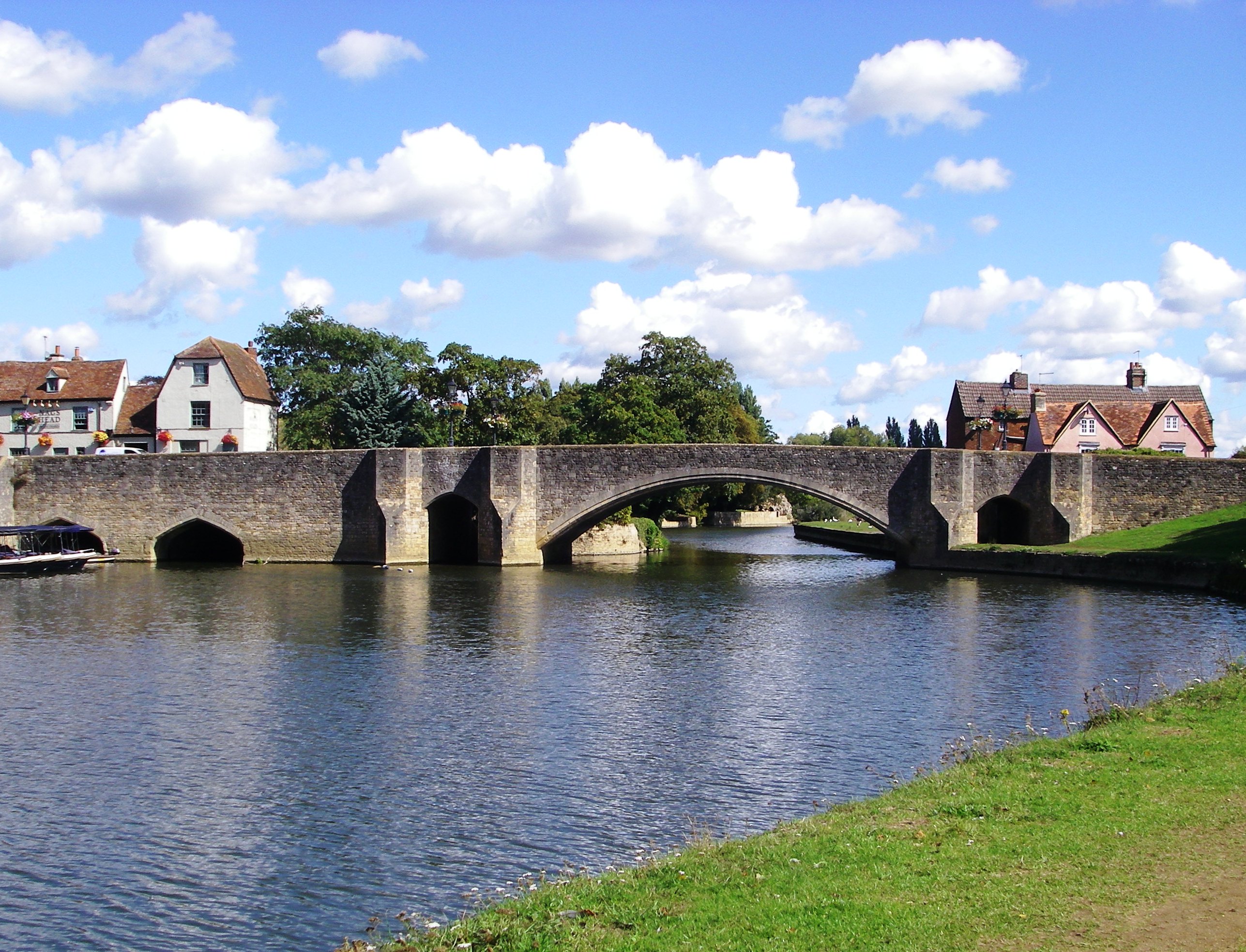
3: Abingdon Bridge. When the Abingdon weir walkway is closed The Thames Path diversion crosses the bridge then turns right along Abbey Close, passes the church and descends to the Abbey Meadows. The path rejoins the main route on the other side of the weir. If there is no diversion, continue to the weir walkway, cross and then cross the Abbey Stream. Turn right and pass through a wooded area to a chicane where the path rejoins the main river. The woodland continues until the path goes under the railway line again, then the aspect opens up and the riverside flowers and grasses become even more abundant. After another mile take the footpath on the left which goes across a field and reaches a lane at Lower Radley. Turn left and follow the road round to a junction. Turn left and cross the bridge to Foxborough Rd. Turn left and left again for the station.